Data collection is a major part of what the GIS Team does. You may have seen members of the GIS team in your neighborhood or have had a knock on your door. The GIS team works to GPS structures (homes, department buildings, district centers, etc) as well as roadways, waterways, culverts, wells and other infrastructure in the Gila River Indian Community. This process consists of gathering precise coordinates using satellite data that can pinpoint a location. The team also works with departments across the Community to verify data from other sources.
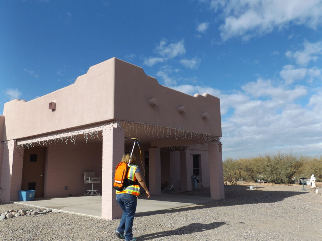
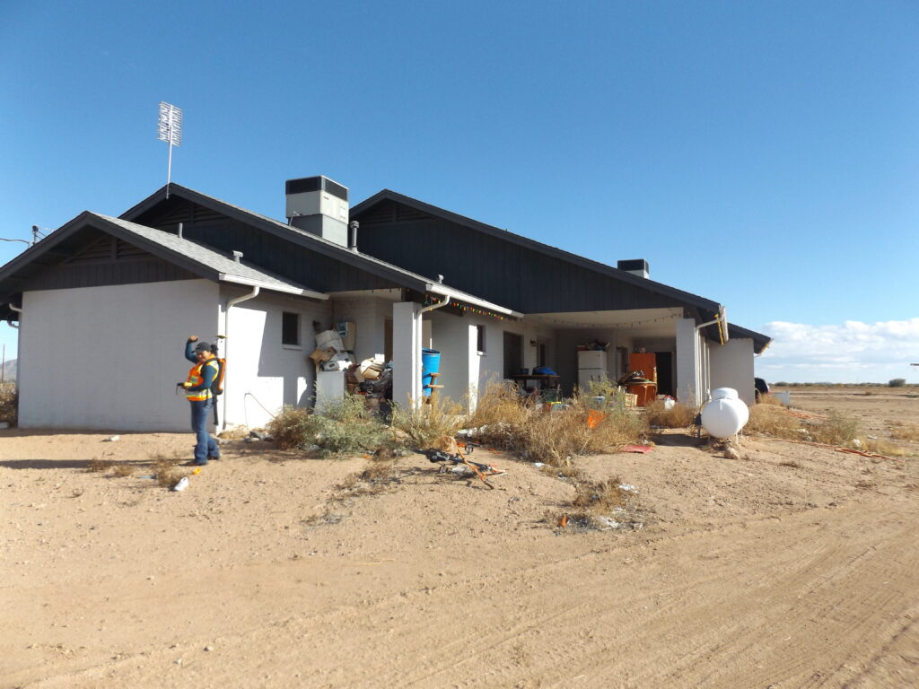
The most frequent interaction with the community is while conducting field work. The GIS team is constantly locating new structures using GPS equipment.
locating new structures
The most frequent interaction with the community is while conducting field work. The GIS team is constantly locating new structures using GPS equipment.
This process consists of a GIS team member knocking on the door to let the occupants know he/she will be locating the structure with GPS equipment. The actual locating process is quick and easy. It requires the GIS team member to GPS the exterior of the house and is relatively quick. You may be asked for access to your back yard, if it is fenced, or to restrain dogs.
If you are not home when the GIS team arrives, you will receive a door hanger on your front door to let you know they were there and located the structure. Unless noted on the door hanger, no further action is required on your part. The hanger is just a courtesy to let you know GIS was on the property.
DEPARTMENT OF LAND USE PLANNING AND ZONING - GEOGRAPHIC INFORMATION SYSTEMS TEAM