Admin & Support Team
The Department of Land Use Planning and Zoning – Admin & Support Team provides a wide variety of administrative and logistical support to LUPZ.
The Department of Land Use Planning and Zoning – Admin & Support Team
The Department oversees and coordinates services for the Gila River Indian Community by enforcing the Homesite, Subdivision, Livestock, Native Plant, Sign & Billboard, Zoning and Trespass Ordinances as well as administering the Land Development Procedures, General Land Use Plan, Seven Districts Master Plan, Flood Control Drainage Manual, Land Surveying Standards and Land Acquisition Policy.
The Department also follows the Code of Federal Regulation with the acquisition of rights of way, land exchanges and land acquisitions.
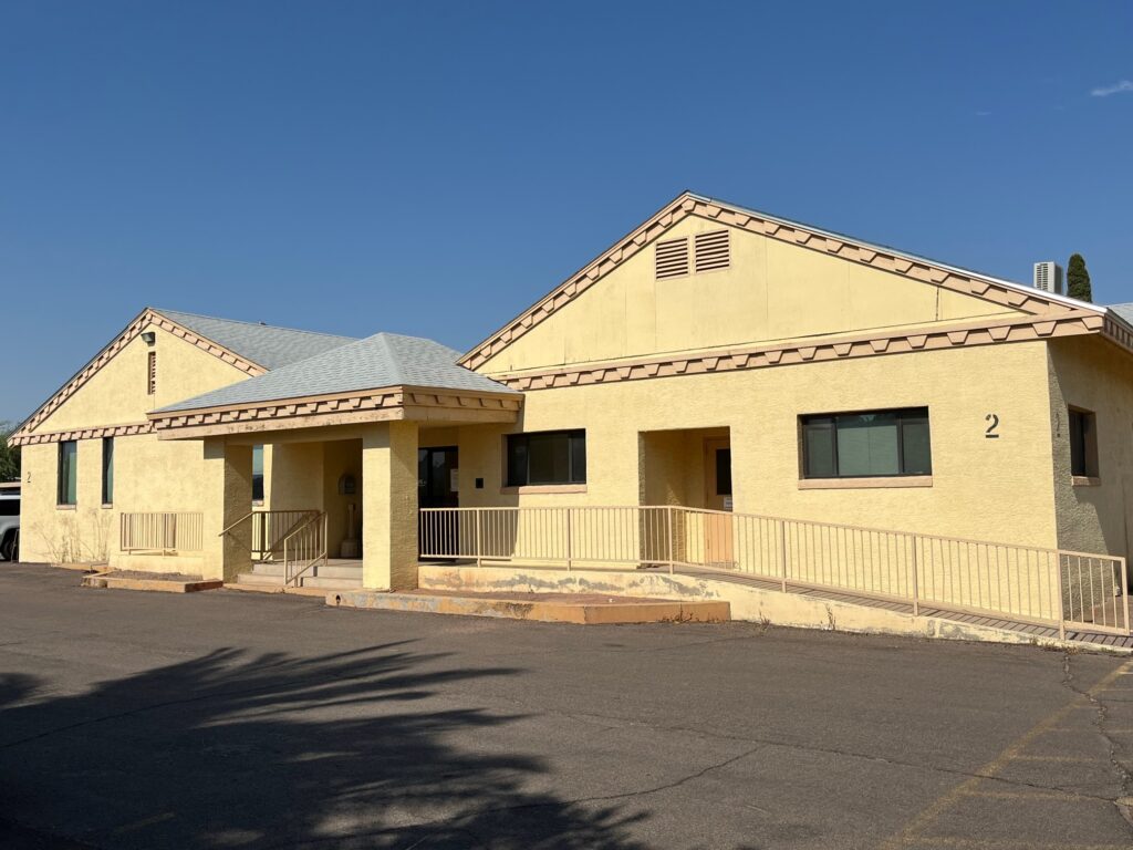
GRIC Department of Land Use Planning and Zoning – Admin & Support Team
Contact Us
Phone: 520-562-6003
Address:
P.O. Box E
291 W. Casa Blanca Rd.
Sacaton, AZ 85147
Email: LUPZSupportGroup@gric.nsn.us
The Department provides the following services:
The Department provides the following services:
- Land use development, land use monitoring and enforcement activity with Community Departments, Community Entities and Outside Entities which includes trespassing, feral horse and livestock monitoring;
- Determines feasibility, implementing the Land Use Action Review process, Certificate of Compliance process, and designating available Tribal land for proposed development areas;
- Conduct the majority of all land surveys on behalf of the Community and coordinate with outside entities assuring the surveys are prepared to Community standards;
- Administer Tribal home site assignments and related home site issues which includes but not limited to locating available tribal land for subdivision purposes;
- Responsible to oversee Geographic Information Systems (GIS) components for the Community and Community departments such as addressing, recording land records within the Community Geodatabase for reference;
- To protect the people, the environment, property, save costs and reduce liability and future flood losses by creating balanced drainage systems across the Community;
- Create, obtain and manage the most feasible public road and utility corridor easements in a timely and cost effective manner necessary for the benefit of the residents of the Gila River Indian Community as well as processing requests for land acquisitions and land exchanges.
- Process Adult Use Marijuana Cultivation permits on tribal homesites