GIS offers a range of services. Learn more about GIS community outreach, field work, mapping, physical addressing , and projects below.
Community Outreach
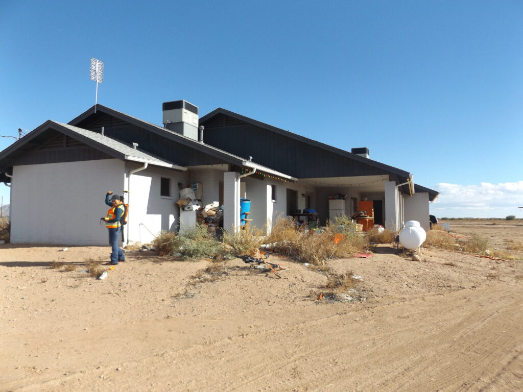
The GIS team takes part in community outreach in many ways. The team regularly interacts with the community during field work, physical address request submission, home visits, installing address numbers for elderly and handicapped community member sand in discussions with community members about how addressing works.
Click below to learn more about GIS community outreach.
Data collection is a major part of what the GIS Team does.You may have seen members of the GIS team in your neighborhood or have had a knock on your door. The GIS team works to GPS survey structures(homes, department buildings, district centers, etc) as well as roadways, waterways, culverts, wells and other infrastructure in the Gila River Indian Community.
Click below to learn more about GIS field work services.
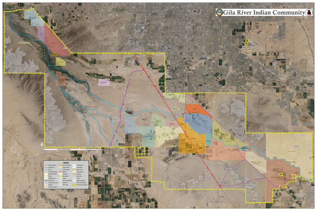
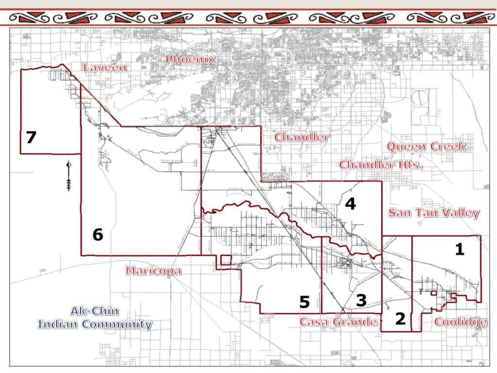
The team offers select mapping services. GIS creates maps using up-to-date data to visualize features(for example: houses, roads, waterways, etc) in the Gila River Indian Community. Maps are a valuable tool in communicating a physical address location to the U.S. Postal Service, identifying land ownership, community planning and more.
Click below to learn more about GIS mapping services.
The use of physical addresses in the Gila River Indian Community has come a long way. Click below to learn more about GIS Physical Addressing services.
The GIS Team also offers a variety of projects services including: Geo-database creation, feature class creation , enlarging and reducing photographs , large document scanning, mounting displays, large document scanning, and graphic displays.