Geographic Information Systems Team

The Land Use Planning and Zoning Department – Geographic Information System (GIS) Team coordinates the development, management and implementation of the Geographic Information System for the Gila River Indian Community. We seek to ensure that Gila River Indian Community’s decision and policy-makers, as well as Community departments and members, have access to geographic information that is complete, timely, accurate, precise and reliable. This includes the maintenance of over 150 feature classes. We promote the use of GIS and related technologies to more effectively address the many resources of the Gila River Indian Community as a whole.

Services We Can Offer You

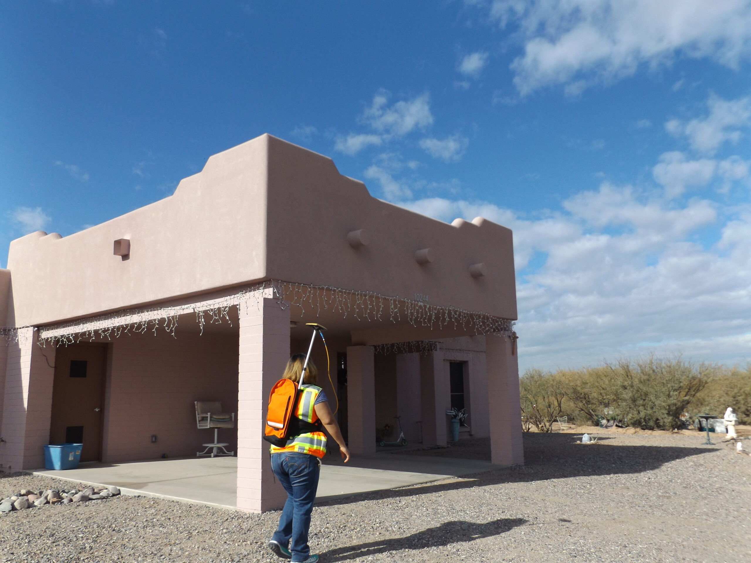
The GIS team takes part in community outreach in many ways. The team regularly interacts with the community during field work, physical address request submission, home visits, installing address numbers for elderly and handicapped community members and in discussions with community members about how addressing works.

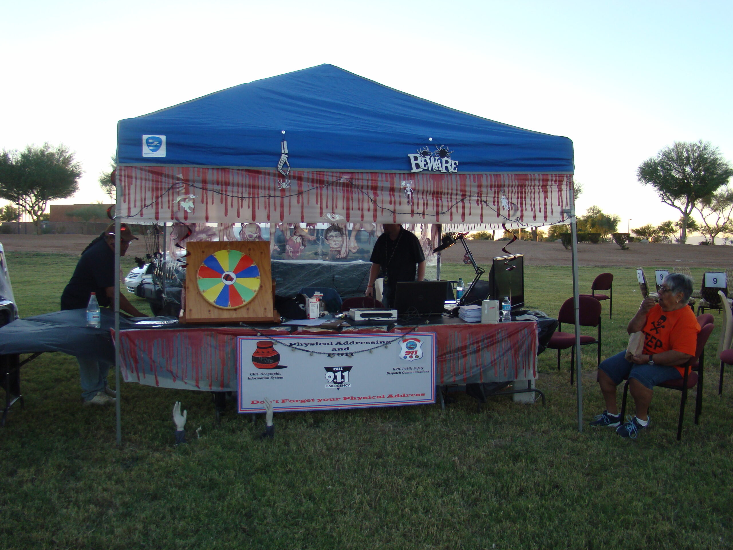
The team also participates in community events to champion the services offered, specifically physical addressing and the benefits offered by having a physical address.

The GIS team works to GPS survey structures (homes, department buildings, district centers, etc) as well as roadways, waterways, culverts, wells and other infrastructure in the Gila River Indian Community.

GIS creates maps using up-to-date data to visualize features (for example: houses, roads, waterways, etc) in the Gila River Indian Community.  Maps are a valuable tool in communicating a physical address location to the U.S. Postal Service, identifying land ownership, community planning and more.

GIS at LUPZ assigns and maintains the physical addressing for the Community. Every building on the Community has a physical address; unfortunately, very few Community members have requested or know their correct physical address.

GIS Team also offers a variety of project services:

  • Geodatabase creation
  • Feature class creation
  • Enlarging and reducing photographs
  • Large document scanning
  • Mounting displays
  • Graphic Displays

More Info

Services

LEARN MORE →

Services

LEARN MORE →

Enterprise GIS

LEARN MORE →

Enterprise GIS

LEARN MORE →

Resources

LEARN MORE →

Resources

LEARN MORE →